While the Global Navigation Satellite System (GNSS) is fairly accurate and works in outdoor environments, large built environments need indoor mapping technology to aid facility management.
Indoor maps aid large facility management in diverse ways. Both 2D and 3D mapping technology help in representing a built environment and support indoor navigation. It has also been demonstrated that a photogrammetric system provides considerable accuracy and costs significantly less when compared to the cost of a GNSS receiver.
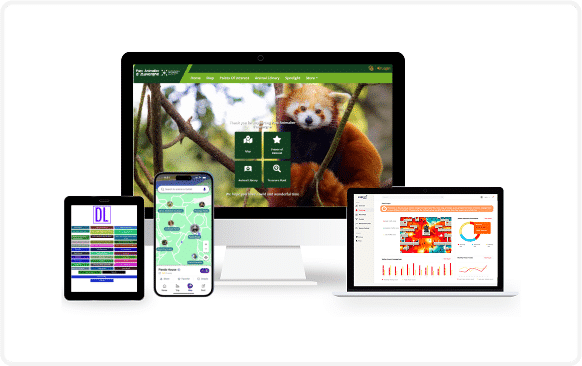
To guarantee enhanced visitor experience in shopping malls, convention centers, resorts, and zoo parks among others, adopting an indoor mapping technology is now a necessity.
Indoor maps can be built as Smartphone apps to aid:
- Positioning and Navigation
- Indoor Location Tracking
- Indoor Space Management
- Proximity Marketing
- Location Based Services
- Hoteling and Reservation
What Exactly is Indoor Mapping?
Just like the way we define GPS maps as global positioning systems which display multiple routes to users for reaching a particular location, indoor mapping can be defined as the technology used for navigating indoors. In a broader sense, it is a service that allows visitors at a large facility for indoor location tracking and reach intended spaces within the venue.
Indoor maps functions through sensors, Wi-Fi, UWB, and RFID among others.
Simultaneously, real-time data can be collected by venue administrators in relation to the number of visitors, their engagements, and productivity of both parties can be scrutinized to plan better strategies for further visits.

Positioning and Navigation –
In large indoor environments, finding a location within a limited amount of time could be frustrating. Especially in hospitals, airports, shopping malls and other environments where crowding of people exceeds normalcy.
Indoor mapping apps or indoor positioning and navigation apps allow visitors to plan their schedule better, easing navigation, which is a qualitative advantage.
Real-time Routing –
Identifying a specific location such as a store or a restroom becomes a challenge at large facilities.
Indoor mapping apps allow visitors to track their location with real-time data so that they don’t miss out on any of their reserved slots like boarding a flight, getting on a train, or even watching a movie within the confines of the mall.
Enriched Visitor Experience and Commercial Personalization –
Globally, visitors at large facilities expect simple and effective wayfinding within the venue irrespective of the density of crowd. Indoor mapping apps offer services that will allow a visitor to easily locate the intended space within the venue, eventually enhancing the visitor experience of the venue resulting in repeated visits.
Indoor mapping apps open up a range of possibilities for both management and visitors in order to have a productive association, leading to operational efficiency for the former and enhanced experience for the latter.