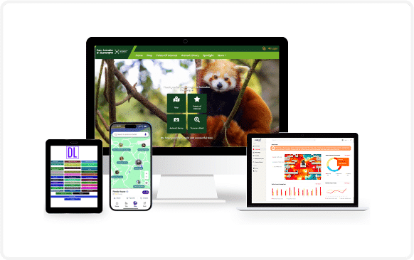
An indoor navigation system helps to locate assets such as an object, areas of interest, and people inside a facility by tapping indoor frequencies from radio waves, acoustic signals, magnetic fields, and other sensory information which can be transferred and collected easily using a Smartphone.
Referred to as an ‘Indoor GPS’, this system is a positioning and navigation technology which aids in tracking assets within a large facility. Apps like these come with various benefits like wayfinding, workforce collaboration, and asset tracking rolled into one single platform.
Also, read our blog Is An Indoor Location Tracking System Similar To Indoor GPS?
Indoor Navigation Technologies – For Indoor GPS Tracking
This system is made possible by technologies such as Wi-Fi, Bluetooth technology, UWB (Ultra wide-band), etc. This helps users of a large facility navigate and wayfind effortlessly within the venue without having to depend on GPS, which doesn’t work accurately indoors.Wi-Fi Signals
Wi-Fi signals are used to find out the exact location and guide people to their desired location. This method is also used for ‘fingerprint’ access points to gauge signal strength and helps in detecting the wireless access point.Light Patterns
The microchips in LEDs have been used for a light pulse to transmit the information by flicking rapidly and detect Smartphone signals to determine a precise location.Magnetic Fields
Using magnetic fields for positioning and navigation helps to determine the accurate location. Likewise, upgrades also help by fingerprinting through the magnetic field to create a better result as well.RFID Tags
RFID tags are used as a real-time locating system than as an indoor positioning system only. Any device which comes in range by, the RFID tag identifies them and locating them becomes easy.Beacon / iBeacon
This system if blended with beacon technology results in identifying the exact location of a person or an asset within the facility. Beacon technology is possible through Bluetooth low energy technology, for transmitting signals and identifying the information as well. A Smartphone can detect signals and helps in tracking the assets around. Apple’s beacons are called iBeacon technology. Such beacons are used as part of an indoor navigation system due to the new audio feature.Also, read our blog Beacon Wayfinding For Indoor Location Tracking
3D Indoor Maps
3D indoor maps are gaining acceptance in facilities such as health care centers, warehouses, and spaces spread over large areas and have multiple assets/people to track and render images of. A recent study explains how 3D indoor maps can be developed using Microsoft Kinect V2.0.Also, read our blog What Are Indoor Maps? How Can They Benefit Large Facilities?


